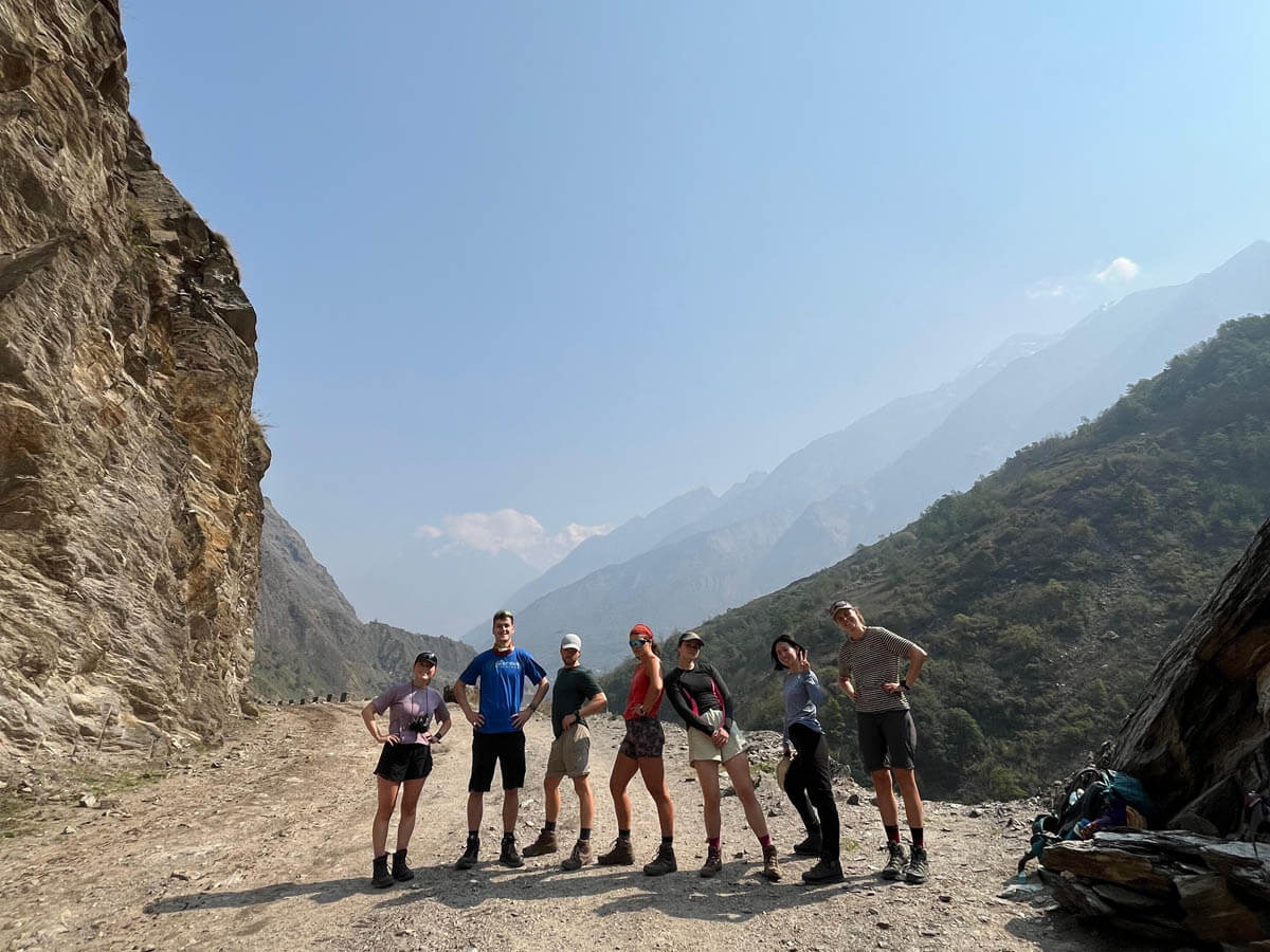
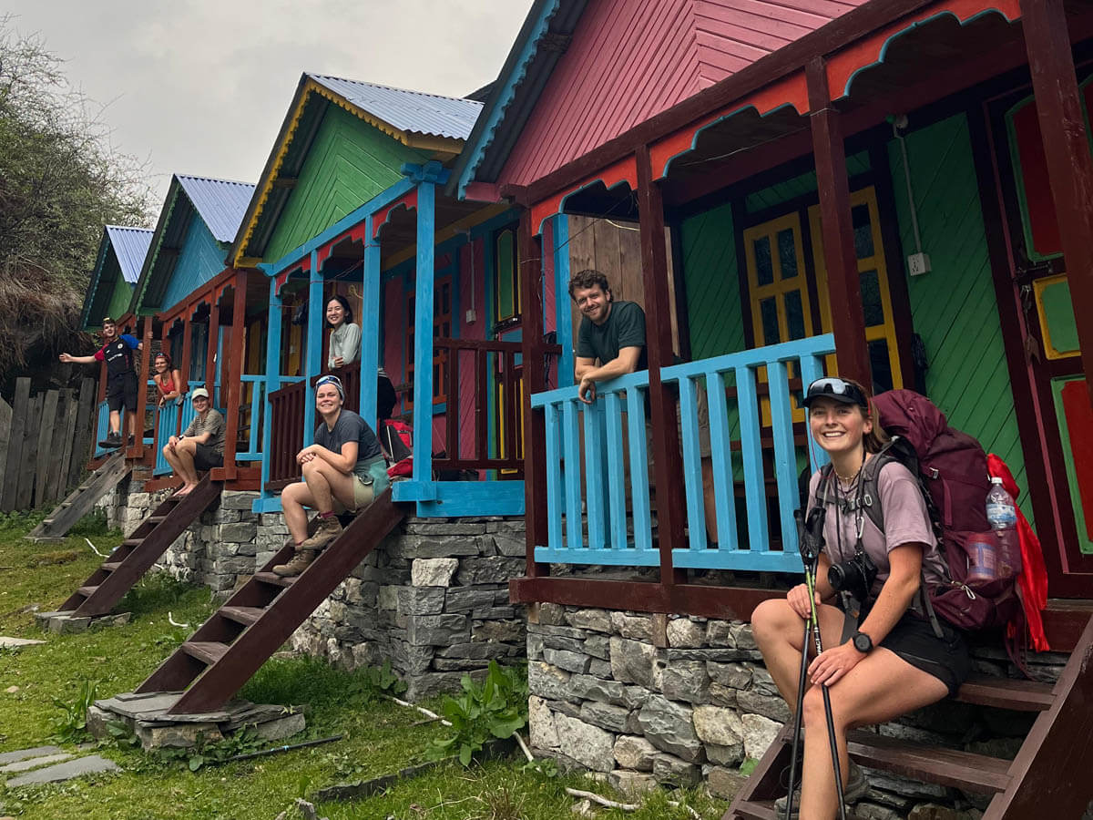
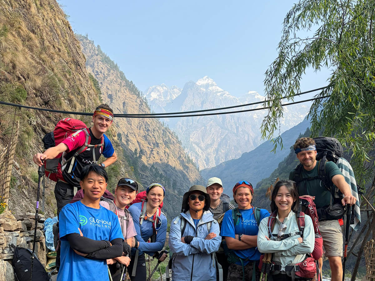
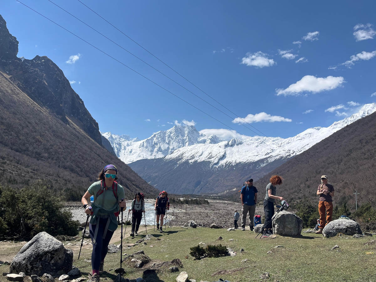
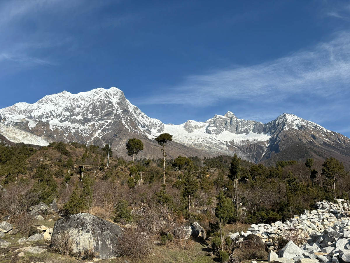
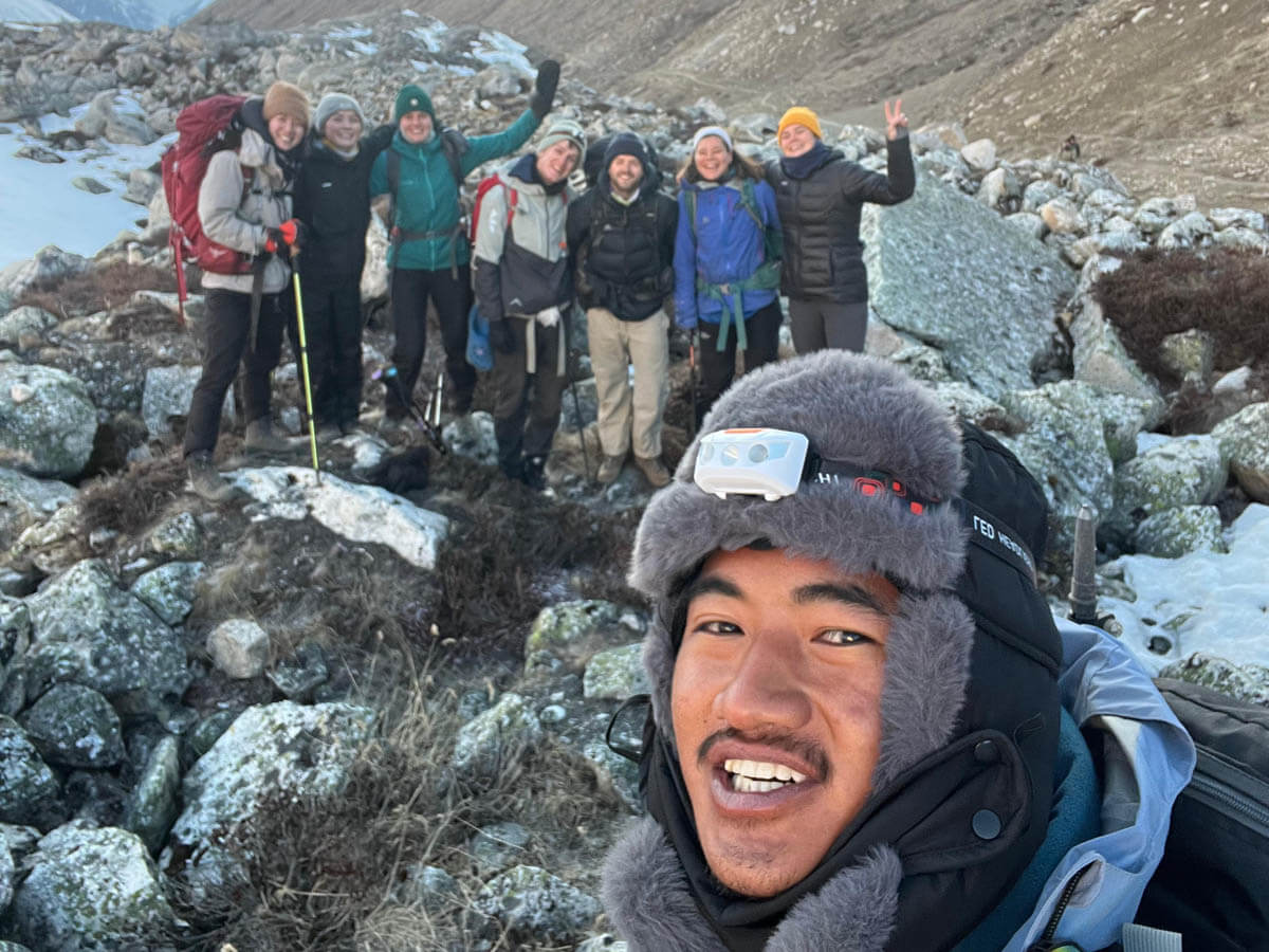
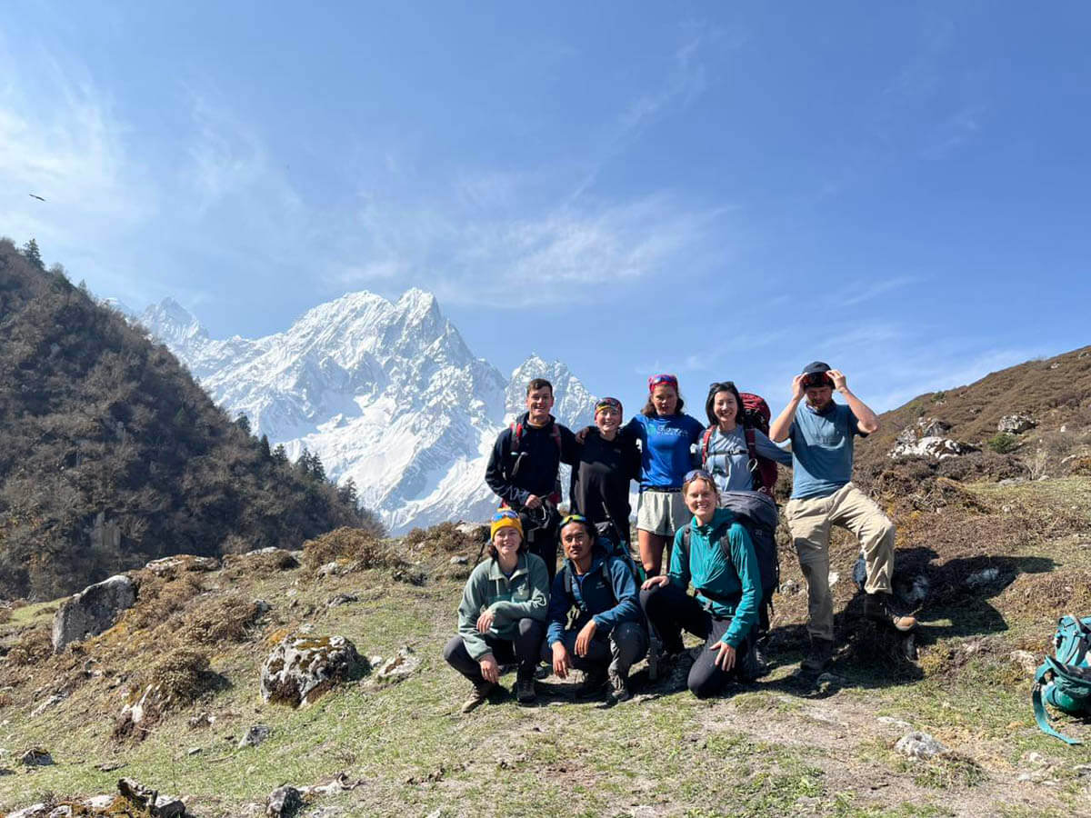
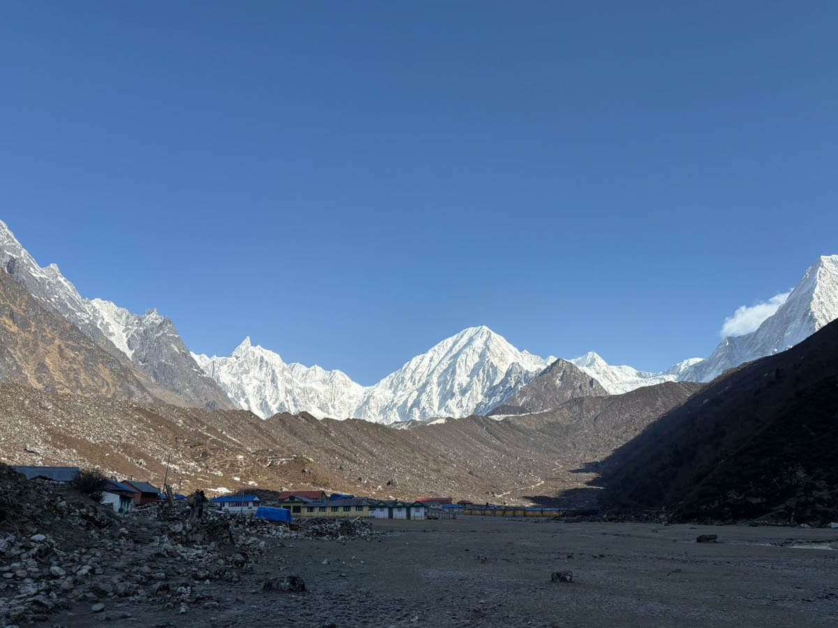
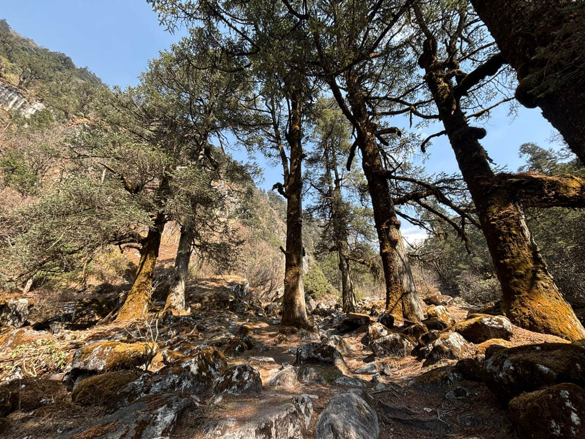
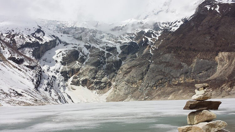
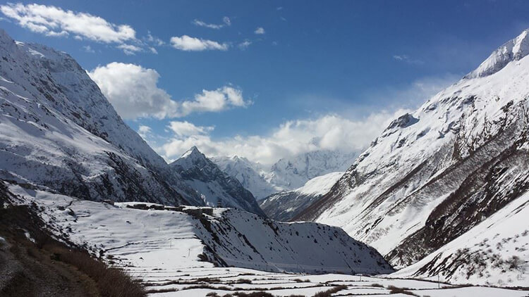
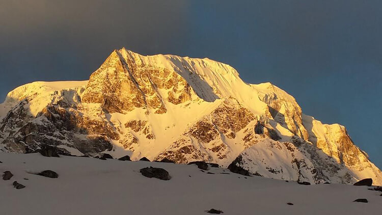
Explore the ancient and beautiful Manaslu region in the central Himalayas
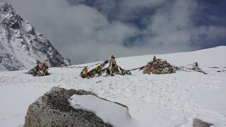
Cross the amazing Larkya-La pass at 5100m altitude and witness the amazing panorama of the area from its top
Walk through terraced fields, alpine meadows, and glacial terrain.
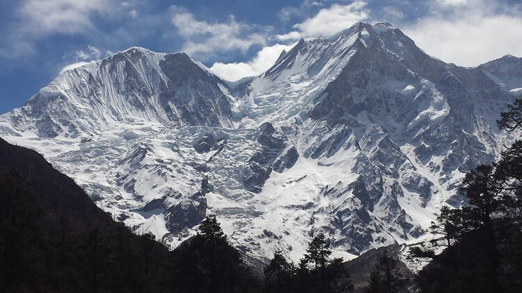
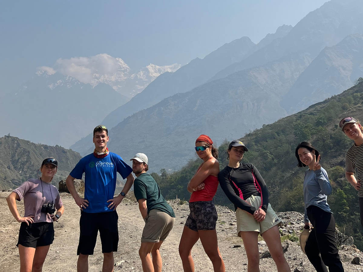
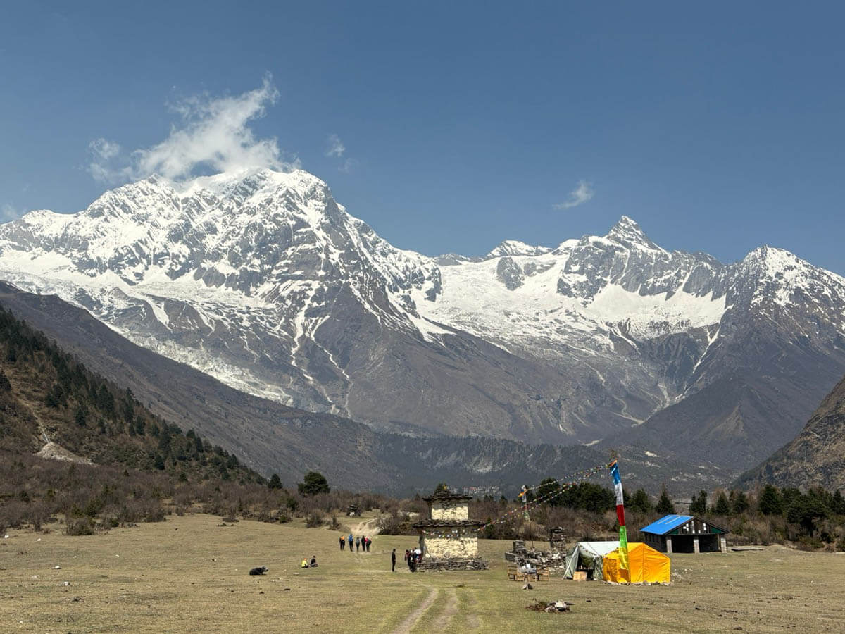
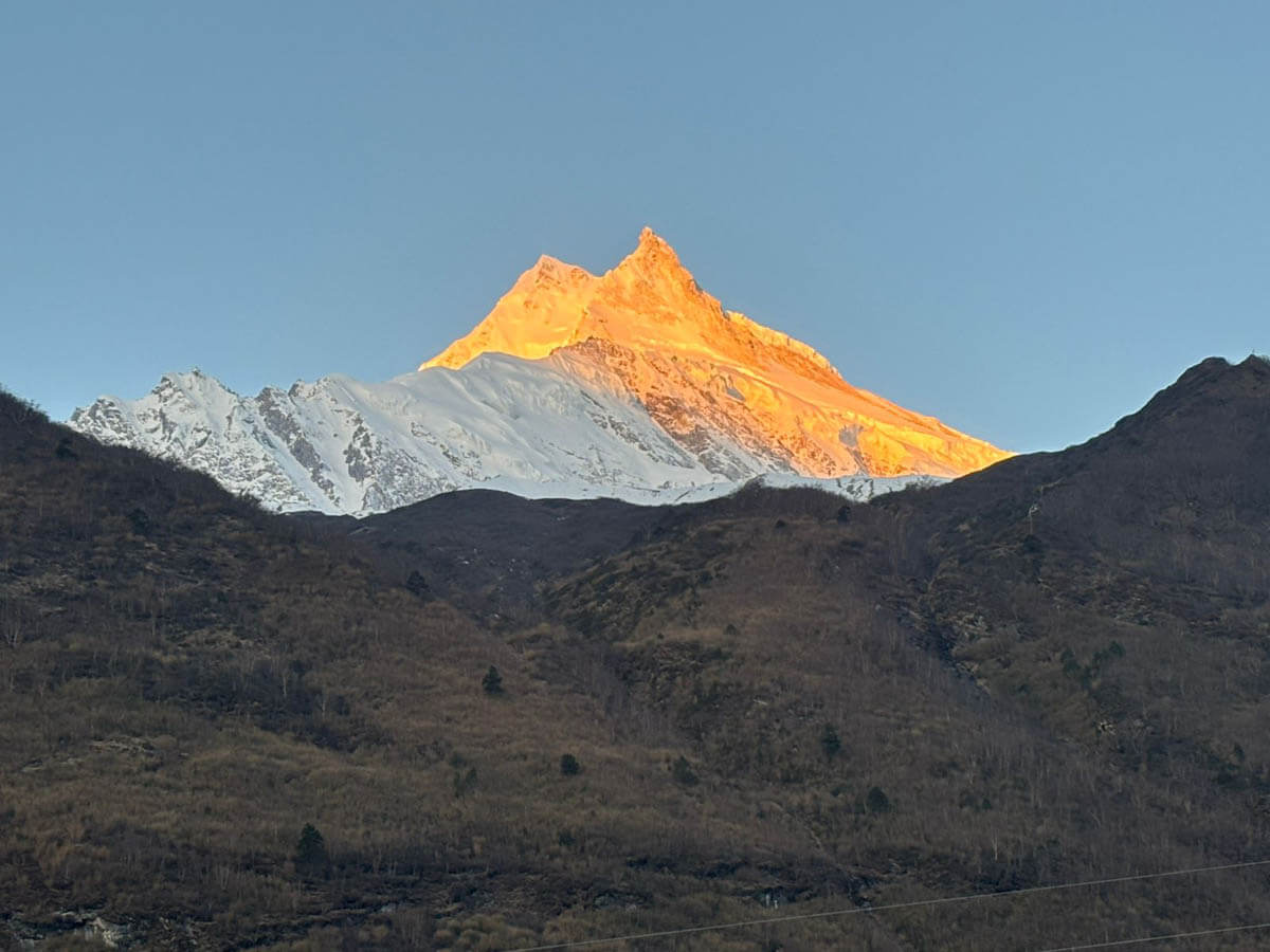
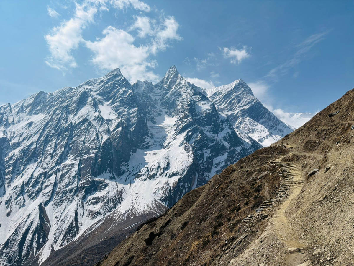
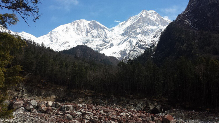
Appeal to your eye with a stunning view of Mount Manaslu (8,163m), Ganesh Himal (7,422m), Himalchuli (7,893m), and Annapurna (8,091m)
Explore old trade routes near the Tibetan Border.
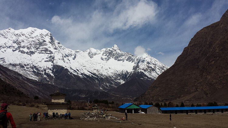
Immerse yourself in the Tibetan-Nepalese culture and lifestyle in remote Himalayan villages, including Samagaun and Samdo.
Experience the friendly, welcoming locals and their simple way of living.
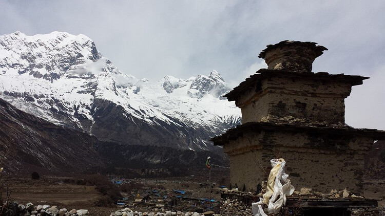
Visit prominent Nubri and Pungyen Monastery along with other Chortens and Mane Walls.
Walk through the Manaslu Conservation Area and glimpse diverse flora, including Tahr, Agali, Pika, and Himalayan Marmots.
Why Book With Us
Guiding in Nepal Since 2011For over a decade, we have led trekkers from around the world through Nepal’s Himalayas.
Certified Local GuidesOur licensed local guides know the trail, the culture and the Larkya La crossing well.
Permits Handled for YouManaslu is a restricted area. We arrange all your permits and paperwork before you arrive.
Well-Paced ItineraryAn overnight in Syala and a full rest day in Samagaun help you acclimatize before Larkya La.
Safety FirstGuides carry a first aid kit and oximeter, with emergency helicopter support if needed.
Pre-Trek Briefing in KathmanduWe brief you on altitude, food, lodges and everything you need before you set off.
Easy Online BookingBook in minutes, pay by card, and choose your own dates or a private trip.
Transparent PricingClear inclusions and exclusions, with no hidden costs.
Manaslu Circuit Trek Overview
The Manaslu Circuit Trek is constantly called one of the best treks in Nepal by seasoned trekkers and explorers. The trail goes through the Manaslu Conservation Area amidst numerous remote villages. The view of Manaslu, the eighth mountain in the world is glorious from the trail with views of Annapurna and Ganesh Himal as well.
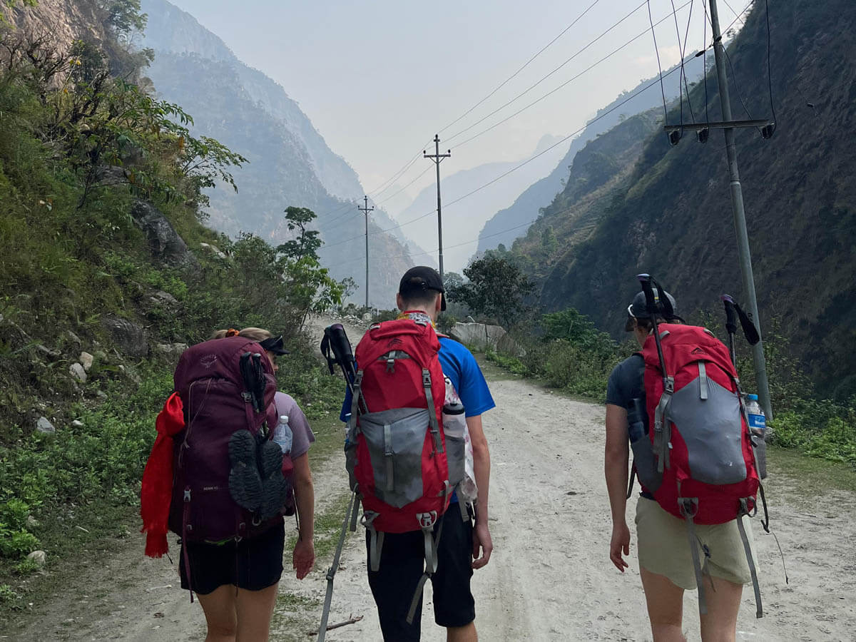
The Manaslu region lies in the central Himalayas, slightly north-west of the capital of Kathmandu. The 15-day trek requires no flights to get to the starting point. This makes the trek smoother and less probabilistic compared to treks in the Everest region. Starting at Machha Khola, the circuit takes you from the lowlands in the Himalayas to the high mountains and gorges above the Budi Gandaki.
The trail opened in 1991 and takes you to the Tibet Border as well. The region of Manaslu is influenced heavily by Tibetan culture and this lets you immerse yourself in their way of life. Tibetan Buddhism is the major religion followed by the people in the Manaslu region and this can be seen clearly on the trail.
Circling around Mt. Manaslu, you will pass through one of the high mountain passes in Nepal, the Larkya La at an altitude of 5,106m. This is the more difficult part of the trek as you will need to start extremely early on the day and walk for 8-10 hours. Physical fitness is a must. However, the view from the pass is amazing, a thing of the dreams. As you descend the pass, mountains like Cheo Himal, Himlung, Nemjung, Gyaji Kang and Kanguru take over the view.
So, join this amazing circuit trek by Glorious Himalaya in the Manaslu region filled with amazing scenery, culture and hospitality as you sleep in teahouses in remote villages along the trek.
What to expect on Manaslu Circuit trek?
After your brief tour of Kathmandu, you will be driven the next day to the trailhead at Machha Khola via Soti Khola. A bus or a private jeep can be arranged. Staying overnight at Machha Khola, the trekking officially begins as we move towards Jagat and onwards to the villages of Deng, Namrung, Dharmasala, Bimthang via Larke La pass and others along the way. The Manaslu Circuit trek is a once-in-a-lifetime adventure around the Manaslu region. Trekkers on their journey to this stunning area can expect the following things:
Eye-catching Scenery
The trek to Manaslu passes through varied areas with eye-catching views, from snow-capped peaks to lush forests, rivers, and waterfalls. The trek offers some of the surreal landscapes in Nepal, which showcase the combination of nature’s perfect beauty. The lower area of the region showcases lush green valleys, terraced fields, and rhododendron forests. As the journey ascends, the scenery transforms into an alpine landscape with rugged terrain and mountain peaks. Budhi Gandaki River, alongside the trail, creates a picturesque panorama.
Cultural Exploration
The Manaslu trek is a journey through rich cultural diversity. The route passes through traditional villages like Namrung, Samagaon, and Samdo, where Tibetan Buddhist culture is prominent. Along the trail, you’ll witness several ancient monasteries, prayer wheels, and Mani walls, adding cultural significance to the journey. Moreover, throughout the trek, you can interact with locals, getting insight into their simple lives. Furthermore, you can expect to feel the warm hospitality of the locals with a pretty smile on their faces.
Mountain Peaks
The journey to Manaslu Circuit offers a visual treat with numerous towering mountain peaks. Mount Manaslu (8,163m), the world’s eighth-highest peak is the major highlight of the trek. Likewise, the panorama of Mount Himalchuli (7,893m), Ngadi Chuli (7,871m), and Ganesh Himal (7,422m) will appeal to your eyes. Larya La Pass, the highest point of the trek, offers a vantage point to see the towering peaks. The awe-inspiring view of the peaks provides unforgettable an that draws anyone to the magnificence Himalayas.
Challenging Trail and High Altitude adventure
Manaslu Circuit trek is one of the most challenging trek in Nepal’s Himalayas, requiring physical and mental fitness. The trail to Manaslu is rugged with steep ascents, and narrow paths, making it physically demanding. Larkya La Pass at 5,106m is the highest point of the trek, increasing the risk of altitude-related issues. However, those challenges make the experience even thrilling and rewarding. Proper preparation, and guidance through experienced trekking agencies help to navigate the trail safely and complete the trek smoothly.
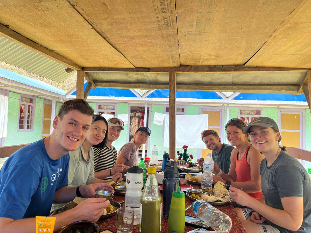
We will spend an additional day at Samagaun village for acclimatization purposes exploring the nearby scenery. Exploring the region near the Tibetan Border, we get to Dharmasala nearby where is the Larkya Bazaar, an old trade town. From Samagaun, we trek all the way to Bhimthang, crossing the Larkya La pass. This would be the most challenging part of the trek. During the whole trek, we will be having lunch and staying overnight at basic teahouses. As we finish the trek at Dharapani, we get a drive back to Kathmandu via Besisahar.
Guide’s Perspective: What Is the Manaslu Circuit Really Like?
We asked one of our experienced Manaslu guides to share what the trek is really like—not from a guidebook, but from years of experience walking the trail with trekkers.
Meet Our Guide
Guide Name: UR Ghale Guiding Since 1990
36+ Years of Experience 28 Successful Larkya La Crossings
UR Ghale has been working as a trekking guide since 1990 and has more than three decades of experience in the mountains of Nepal. Born and raised in the foothills of Mount Manaslu and Ganesh Himal, he knows the Manaslu trail from years of personal experience. He has successfully crossed Larkya La Pass 28 times with trekking groups. He has guided students, adventurers, couples, and travelers of different ages from around the world.
From the Trail: UR Ghale’s Manaslu Experience
We asked UR Ghale what trekkers should really expect on the Manaslu Circuit—from the toughest day to his favorite village.
What is the hardest day?
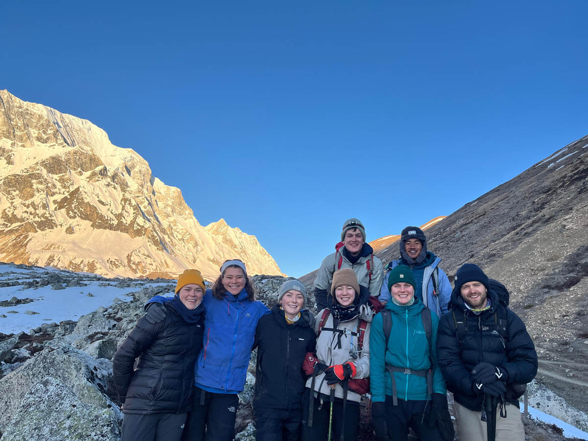
UR Ghale: “In my long years of experience, Larkya La Pass is usually the hardest day of all. We start very early, often around 3–4 am. And it is a long day at more than 5,100 meters. The cold, wind and altitude make it challenging.
The first couple of days can also feel difficult because trekkers are still getting used to the mountain environment.”
What is Larkya La really like?
UR Ghale: “I like the challenges and it is a part of the Manaslu trek, but very rewarding as well. As we climb towards the pass, the landscape becomes more dramatic. From the top, you can see mountains, glaciers and valleys in every direction. Reaching the pass after the long climb is a very special moment for trekkers.”
Where do trekkers usually struggle?
UR Ghale: “In my personal experience, trekkers usually find two parts challenging. The first is the beginning of the trek, when they are still getting used to the mountain environment and the longer walking days. The second is the final climb to Larkya La. We start early in very cold conditions, and the altitude makes every step slower. I always tell trekkers not to rush and to walk at a comfortable pace.”
What if someone develops altitude symptoms?
UR Ghale: “First, I check their symptoms, overall condition and oxygen level. We provide appropriate first aid and monitor them carefully. If symptoms become worse, going down to a lower altitude is the priority. In a serious emergency, we help coordinate with the insurance company for helicopter evacuation if the trekker’s insurance covers it.”
What is the accommodation really like?
UR Ghale: “When I first started guiding in the Manaslu region, we had to carry camping equipment from Kathmandu and stay in tents along the route. From 1990 to 2000, we still used tented accommodation in many places. Later, local families started basic teahouse service along the trail, and the facilities have improved considerably since then.
Today, teahouse rooms are still basic, but they are generally clean and comfortable. Most rooms have two separate beds, blankets, pillows and bed sheets. Bathrooms are often shared, although private bathrooms are available in some lower-altitude areas. As we go higher, facilities become more basic, so trekkers should be prepared for a simple mountain experience.”
Which village is your favorite?
UR Ghale: “Shyala is my favorite place. From here, mountain views are beautiful, especially the views of Manaslu surrounded by green hills and forests. I particularly enjoy the sunrise there. Every village has its own character, but Shyala is special to me.”
What should first-time trekkers know?
UR Ghale: “Prepare properly before embarking on Manaslu Circuit. I recommend at least eight weeks of physical training and also being mentally ready for long walking days, altitude and changing weather conditions. Good quality footwear, warm clothing and a down jacket are important. Winter trekkers may also need crampons. And always listen to your guide.”
What mistakes do trekkers commonly make?
UR Ghale: “As I saw, rushing is one of the biggest mistakes. Some trekkers walk too fast, try to skip acclimatization days because they are short on time. Others drink alcohol or smoke while trekking, which can make it harder to cope with high altitude. Some trekkers don’t bring the right gear or don’t follow their guide’s advice. Manaslu is much more enjoyable when you take your time and let your body adjust.”
What makes Manaslu different from Everest?
UR Ghale: “From my personal perspective, Manaslu is quieter and feels much more remote. Everest has become a very busy and commercial trekking route, while Manaslu still gives trekkers a stronger feeling of being in the mountains. The facilities are more basic, but for people looking for a genuine adventure, that is part of the attraction.”
What do you personally enjoy most?
UR Ghale: “I enjoy the peacefulness of the trail and watching the landscape change as we gain altitude. I love the views from Shyala and Samagaun. And visiting Manaslu Base Camp, Birendra and Ponkar Lakes, and Pungyen Gompa add an extra rewarding experience to my Manaslu circuit trek. But honestly, I also enjoy the simple things like sleeping in a local teahouse, eating a warm meal and talking with fellow trekkers after a long day. After so many years, those moments are still special to me.”
Manaslu trek with authentic local mountain leaders
We are a team of expert local mountain leaders who have been operating Manaslu circuit trek for hundreds of hiking enthusiasts from around the world since 2011.
Our experienced guides are highly-trained and government certified. They are well known about the trails and potential risks. And our porters are fully equipped and helpful. During the trek, our guides and porters always focus on our client’s safety and comfort. We have a 99% success rate for the Manaslu circuit trek from 2011 to till date. Every member of our team is dedicated to making your journey safe, memorable and truly unforgettable.
Best Time for Manaslu Circuit Trek
The Manaslu Circuit can be done year-around, but spring and autumn offer the best conditions for trekking.
The best times to trek in the Manaslu Circuit Trek are during spring (March-May) and autumn (September-November). During these seasons, the weather is generally stable with clear skies, offering excellent views of Mount Manaslu and the surrounding Himalayan peaks. Spring brings blooming rhododendron forests and mild temperatures, while autumn provides crisp air, dry trails, and the best mountain visibility, making both seasons ideal for the trek.
The Manaslu Circuit Trek in Nepal is best experienced in the months of March through May or September through November. If you’re planning a trip, these two seasons are the best time to do it because the weather is more predictable and agreeable. In April, the entire mountain region of Manaslu will be awash in a riot of color because that is when most flowers bloom.
The trails around Manaslu become extremely popular during the autumn months. By far, October is the most interesting and exciting month of the autumn. The two biggest festivals in Nepal, Dashain and Tihar, are currently being celebrated by their entire populations.
In October, many people flock to the Manaslu region trek to experience its natural beauty and unique culture. As a result, the region’s trails and hotels will be flooded with hikers and backpackers. As much of the trail closes for maintenance and unpleasant weather during the winter and monsoon, these seasons are not ideal for going on a trek. In addition, visit our trekking season information section for further details.
Crossing Larkya La Pass (5,106m) is safest during spring and autumn seasons.
Below information might be useful to prepare for your Manaslu Trek.
Check out our itinerary for the Manaslu Circuit Trek below, or just send us an email, and we’ll tailor-make an itinerary based on your requirements.
Manaslu Circuit Trek Itinerary Outline
Day
Outline Itinerary
Elevation Gain & Loss
Duration
Walking Distance (km)
Day 01
Arrival in Kathmandu and transfer to the hotel (1,400m)
–
–
–
Day 02
Kathmandu sightseeing tour and trip preparation
–
–
–
Day 03
Drive from Kathmandu to Machha Khola (900m)
-500m
9 hours Drive
173 km
Day 04
Trek to Jagat (1,370m)
+470m
6 hours Trek
17 km
Day 05
Trek to Deng (2,095m)
+725m
8 hours Trek
19.2 km
Day 06
Trek to Namrung (2,630m)
+535m
6 hours Trek
19.5 km
Day 07
Trek to Syala (3,500m)
+870m
6 hours Trek
14 km
Day 08
Trek to Samagaun (3,530m)
+30m
6 hours Trek
13.6 km
Day 09
Acclimatization: Samagaun Exploration Day
+0m
–
Day 10
Trek to Samdo (3,850m)
+320m
4-5 hours trek
8.2 km
Day 11
Trek to Dharmasala (4,460m)
+610m
3-4 hours trek
6.1 km
Day 12
Trek to Bhimtang (3,720m) via Larkya La Pass (5,106m)
+500m (gain, then loss)
8-9 hours trek
24.7 km
Day 13
Trek to Dharapani (1,680m)
-2,040m
7-8 hours trek
25 km
Day 14
Drive back to Kathmandu via Besisahar
-280m
9-10 hrs drive
214 km
Day 15
Departure from Nepal
—
—
—
15 Days Manaslu Circuit Trek Itinerary
01DAY
Arrival in Kathmandu, Nepal and transfer to the hotel.
Altitude1400 m
MealsBreakfast
AccommodationHotel
After finishing your visa and luggage checking process, you will be warmly greeted by our office representative and transfer you to the hotel in Kathmandu on private vehicle. A pre-trek briefing will be scheduled to discuss the trekking program and coordinate any last-minute arrangements.
You can refresh yourself, go for a walk down the street to get familiar with your surroundings before preparing for a tasty welcome dinner of local Nepalese cuisine which you will truly enjoy accompanied by a cultural dance performed by the local belles. Your first overnight in the city of temples, probably the most in the world.
Your Guide's Advice for Today:
Check your trekking gear carefully and show them to your guide during the pre-trek briefing time. Ask any questions about your gears, safety or the trek before heading towards the mountains. Try to get a good night's rest after your long flight to Nepal.
02DAY
Kathmandu sightseeing tour and trip preparation
Altitude1400 m
MealsBreakfast
AccommodationHotel
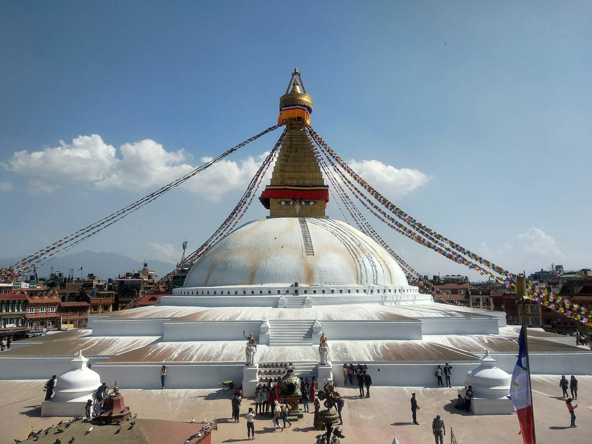
Today you will explore four world heritage sites in Kathmandu valley on an organized sightseeing tour. This will include a visit to the Boudhanath Stupa, one of the biggest Buddhist shrines in the world.
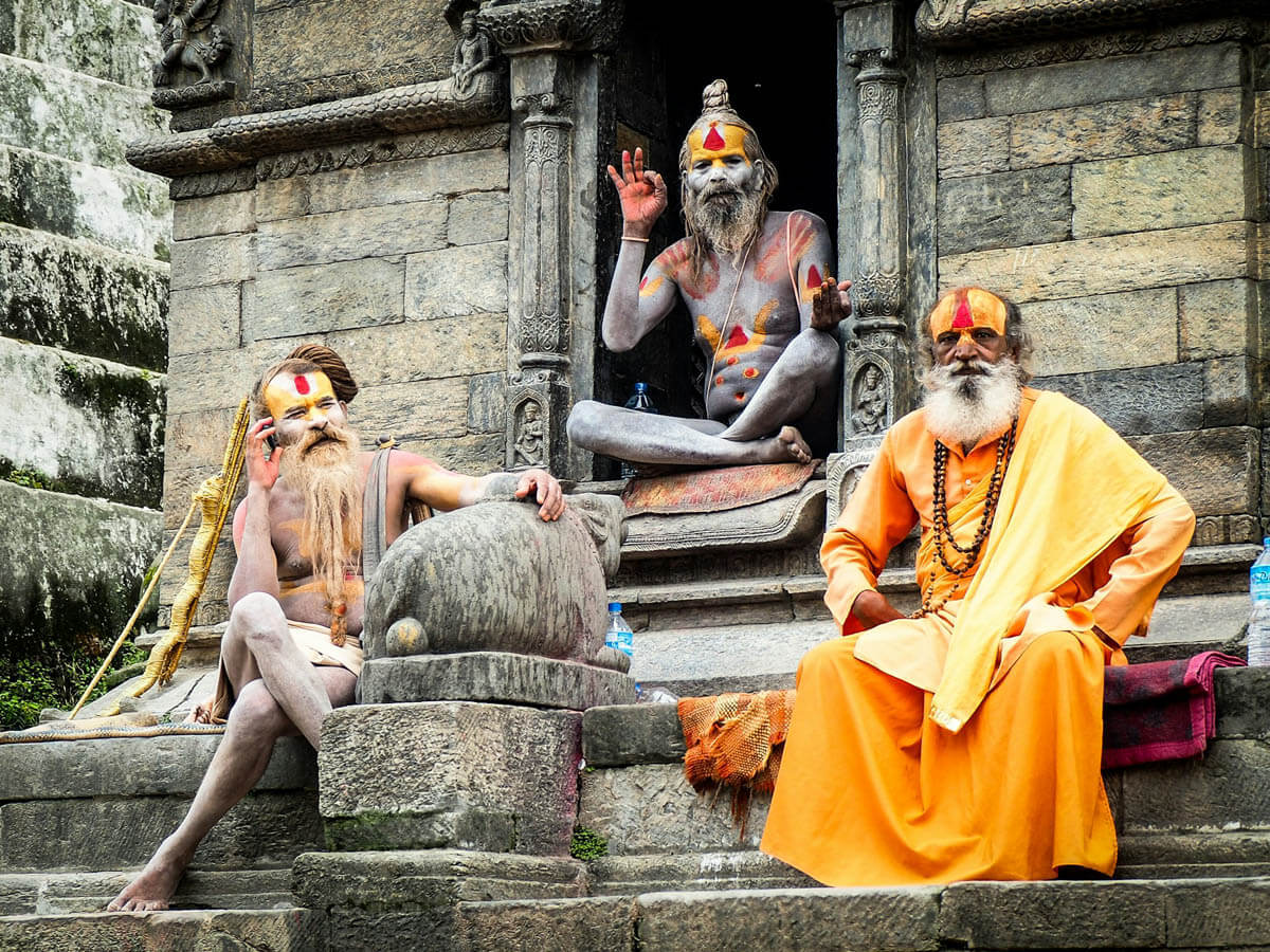
You also visit Pashupatinath temple, located on the banks of the holy Bagmati River and home to the most famous Hindu temple in the country. Here you will see Hindu holy men (sadhus) and pilgrims performing ritual bathing, and occasionally, funeral pyres burning on the ghats. In the early cremation site here is only used by the Royal family but now it is also used by the locals.
After visiting these two holy sites, you will visit two more sites that are Swayambhunath Stupa (also known as monkey temple) and Kathmandu Durbar Square.
After the sightseeing tour, you will be free to relax in the hotel garden or visit Thamel for the last-minute shopping. Today, get on the bed on time as you have to wake up early tomorrow for the long drive.
Your Guide's Advice for Today:
Return early from the sightseeing tour and prepare the remaining items as suggested by your guide, such as your passport, cash in Nepalese rupees, trekking boots, a water bottle and warm clothing. After setting up all the items, have dinner and go to bed early because tomorrow is a long driving day.
03DAY
Drive from Kathmandu to Machha Khola
Altitude900 m
MealsB L D
AccommodationTeahouse
Drive Time8 hrs
Drive Distance173 km/ 107.4 miles
Our trip to Machha Khola takes off in the early morning after breakfast. We take a local bus from Machhapokhari’s New Bus Park early morning around at 7:00 am. You also have an option of a private jeep from Kathmandu to Machha Khola at an additional cost for your comfortable drive. A 4WD jeep, which is designed specifically for an off-road drive, is what you choose if you prefer to use a private jeep for your Manaslu Circuit journey.
Driving along the Prithivi Highway following the Trishuli River, we get to enjoy the aspects of the countryside with the scenery of the gorgeous landscapes.
From Kathmandu to Hanuman Danda, there is a smooth, pitched road. It takes about 4 hours to reach Hanuman Danda and further 3–4 hours to Machha Khola. However, occasionally there is heavy traffic on the road, so the actual travel time may be longer.
Although it will be a quite bumpy and dusty road. After about an 8 hrs of the long drive from Kathmandu, we finally reach Machha Khola via Soti Khola around 3-4 pm. You can freshen up by taking a bath in the river. We stop overnight at one of the local teahouses in Machha Khola.
Overview of Machha Khola (900m)
Machha Khola is a small riverside settlement along the Budi Gandaki River and serves as one of the early overnight stops on the Manaslu Circuit. The village is mainly filled with Gurung communities and simple teahouses along the trail. Surrounded by forest hills and terraced farmland, the sound of the river keeps company with trekkers throughout this section of the valley.
Your Guide's Advice for Today:
Keep some snacks, drinking water, and any personal motion-sickness medicine with you because the road journey can be long, dusty, and occasionally bumpy, especially from Arughat to Machha Khola. Try to rest well after reaching Machha Khola because the trekking begins the next day.
04DAY
Trek from Machha Khola to Jagat
Trek Distance17 km/ 10.5 miles
Altitude1370 m
Trek Duration6 hrs
MealsB L D
AccommodationTeahouse
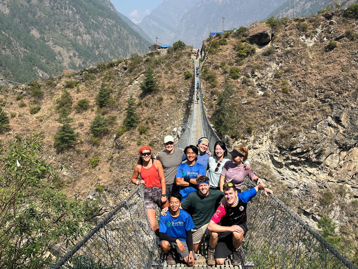
TrailForest, river valley, suspension bridges
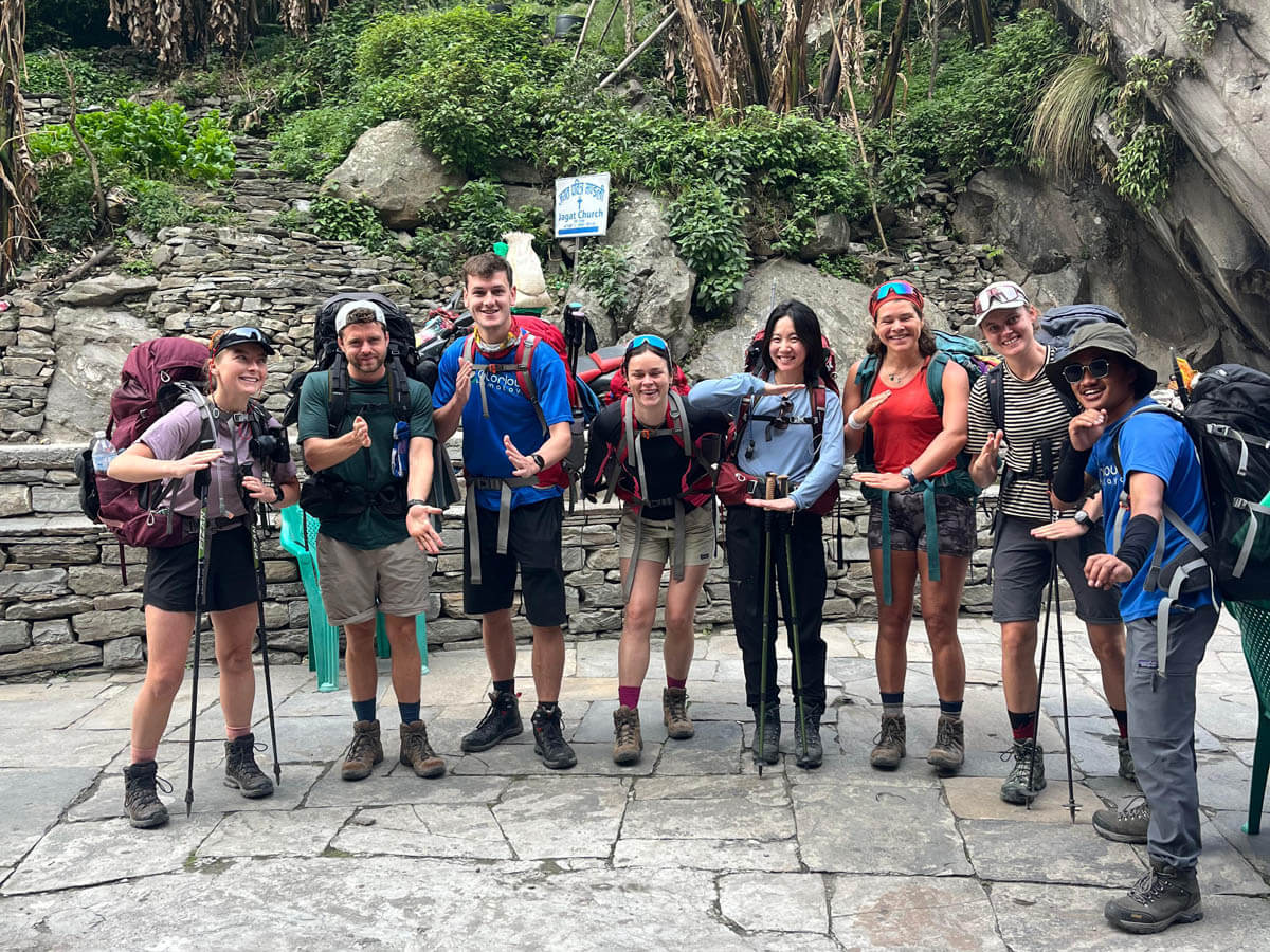
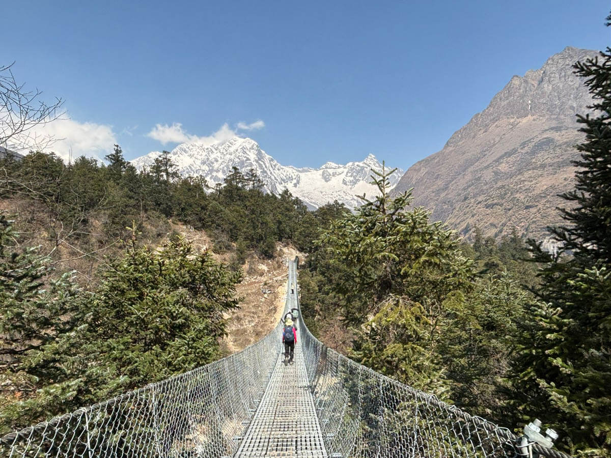
We cross over Machha Khola and head upstream to the tiny village of Khorla Bensi and the hot springs at Tatopani. The whole valley here becomes steeper to the limits till the route to cross then switches to the left bank by a suspension bridge. The trekking trail is quite exposed and challenging in some places. After a short section of forest trail, we reach a single teahouse at Doban.
Above Doban village, the Budi Gandaki descends with some notable flowing of rapids. Beyond this hard steep section, the River is much more placid, meandering across a wide gravel bank, and from Lauri, we will cross the river by crossing a suspension bridge, and then climb on a high trail to the fields of Jagat.
Overview of Jagat (1370m)
Jagat is a charming stone-paved village that marks the official entrance to the restricted Manaslu region. Traditional houses built from stone and slate line in its narrow streets, giving the village a distinctive Himalayan character. The village also marks the beginning of a stronger Tibetan Buddhist cultural influence, visible in prayer flags, mani stones, and small chortens.
Permit Checkpoint Note:
At Jagat, we present our trekking permits at the official MCAP (Manaslu Conservation Area Project) checkpoint, where records of trekkers entering the region are verified.
Your Guide's Advice for Today:
This is the first real walking day of your trek, so don't try to prove your fitness by walking too fast. Find a comfortable pace and let your body adjust to the trail. Some trail sections are narrow, landslide-prone or exposed, and there are several suspension bridges, so listen carefully to your guide.
05DAY
Trek from Jagat to Deng
Trek Distance19.2 km/ 11.9 miles
Altitude2095 m
Trek Duration8 hrs
MealsB L D
AccommodationTeahouse
TrailForest, river valley, suspension bridges, stone steps
The next 8 hours walk is to reach up to Deng. The trail goes ascending through a terraced hill of Salleri village where you can get enchanting views of Sringi Himal (7,177m). We can rest a while to enjoy the views of beautiful mountains. Continuing the journey, the trail goes through Sirish Gaon and narrow Gandaki valleys and some tall walls. Overnight at Deng at the local lodge.
Overview of Deng (2095m)
Deng is a quiet Himalayan settlement located beside the Budi Gandaki River. The village consists of a small cluster of houses and teahouses surrounded by forests and steep hillsides. This area is predominantly Buddhist, and trekkers begin to notice mani walls, prayer flags, and chortens along the trail, reflecting the Tibetan cultural heritage of the region.
Your Guide's Advice for Today:
Due to several ups and downs, stone steps and changing terrain, today’s distance can feel longer than expected. Thus, save your energy, take regular short breaks and drink plenty of water throughout the day. Follow your guide, as you have to cross a landslide-prone area as well.
06DAY
Trek from Deng to Namrung
Trek Distance19.5 km/ 12.1 miles
Altitude2630 m
Trek Duration6 hrs
MealsB L D
AccommodationTeahouse
TrailForest, river valley, suspension bridges, stone steps
After having a hot breakfast, we will set off for Namrung which is about a 6 hours walk. The trek starts following Deng River and the trail next goes through a newly built rock tunnel. The influences of Tibetan culture start to appear as you can see Mani stones and Chortens around it. Overnight at the local lodge.
Overview of Namrung (2630m)
Namrung is a picturesque Tibetan-style village known for its carved wooden houses, stone alleys, and prayer wheels. As trekkers gain elevation, the cultural atmosphere becomes distinctly Tibetan. On clear days, Namrung offers the first close views of Manaslu (8,163m) and Himlung Himal (7,126m), making it an exciting milestone on the trek.
Your Guide's Advice for Today:
Don’t ignore unusual symptoms such as persistent headache, unusual tiredness or loss of appetite; inform your guide early because you are gradually gaining altitude today. So, it is a good time to establish a steady trekking route: walk slowly, eat well, drink plenty of fluids and get enough rest. Between Bihi and Ghap village, there is a landslide-prone area, so walk with your guide throughout the day's trek.
07DAY
Trek from Namrung to Syala
Trek Distance14 km/ 8.7 miles
Altitude3500 m
Trek Duration6 hrs
MealsB L D
AccommodationTeahouse
TrailForest, river valley, suspension bridges
Today, we are heading to Syala. Travelers often set their camp in Samagaun from Namrung but we stay in Syala. The views seen from Syala village are far more attractive than from Samagaun.
Today is the day that -we are going to climb almost 1000m elevations, hence we advise our trekkers for an easy and slow walk as we are gaining the high altitude within a short period.
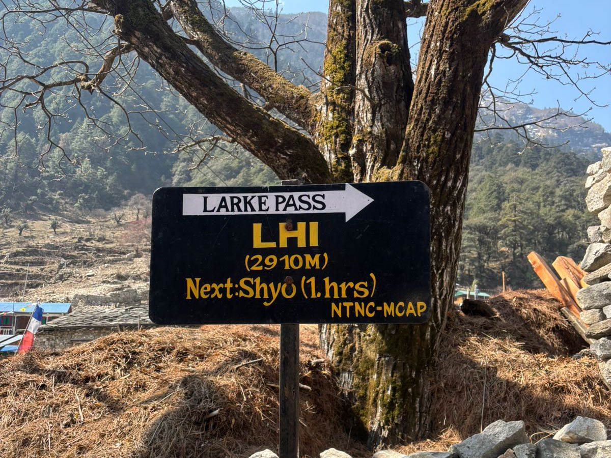
Leaving Namrung, the trail leads us through barley fields, ethnic settlements and the picturesque village of Banham, Lihi, Sho, and Lho. Lihi and Sho are the traditional Tibetan villages in the Manaslu region.
Lho, is one of the largest villages decorated with lots of Buddhist prayers flags with a beautiful monastery and mani walls. In addition, the sight of gorgeous Simnang Himal (6251m), Ganesh Himal I, Manaslu, Kutang Himal, Phungi, Peak 29 and Himalchuli add some pleasant flavor to our today’s tough hike.
After long day haul ups and down walks, we reached Syala, a beautiful village surrounded by snowcapped mountains. Stay overnight at a local lodge in Syala.
Overview of Syala (3500m)
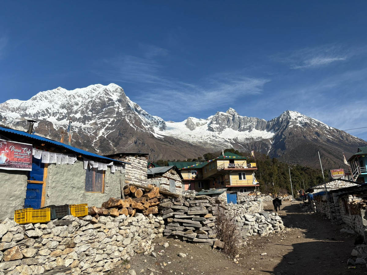
Syala is a scenic mountain village surrounded by some of the most spectacular Himalayan views on the Manaslu Circuit. A small Buddhist monastery stands at the center of the village, while open pastures and yak grazing fields surround the settlement. From here, trekkers can enjoy panoramic views of Manaslu, Himalchuli, Ngadi Chuli, and Ganesh Himal.
Your Guide's Advice for Today:
This is an important altitude-gaining day, climbing from approximately 2,630m to 3,500m. Walk slowly and consistently, even if you feel strong. This is not the day to race ahead. Enjoy the villages and mountain views along the way. But save your energy for the higher days ahead.
08DAY
Trek from Syala to Samagaun via Pungyen Gompa
Trek Distance13.6 km/ 8.5 miles
Altitude3530 m
Trek Duration6 hrs
MealsB L D
AccommodationTeahouse
TrailForest, river valley, suspension bridges,
We wake up, be fresh, have breakfast and hike to Pungyen monastery. It is perched above the Manaslu Valley that holds deep spiritual significance for local Buddhists. It also offers a sacred space for meditation and worship, with stunning views of Manaslu reinforcing the connection between nature and spirituality. The monastery also plays a key role in preserving the cultural heritage of the Nubri people.
After visiting the Pungyen gompa we retrace our trail to Samagaun. The journey goes through a wooden bridge over Budi Gandaki River. Going forward the trail passes some houses and cultivated fields. We follow the right section of the Riverbank, with views of Peak 29 ahead. As we continue on the main trekking trail, we reach the first section of Sama Gaon, 3500m.
The trail also provides you the view of peaks like Naike peak, Manaslu north (7,774m) and Manaslu (8,150m), which will lessen your exhaustion. Overnight at the local lodge.
Overview of Samagaun (3530m)
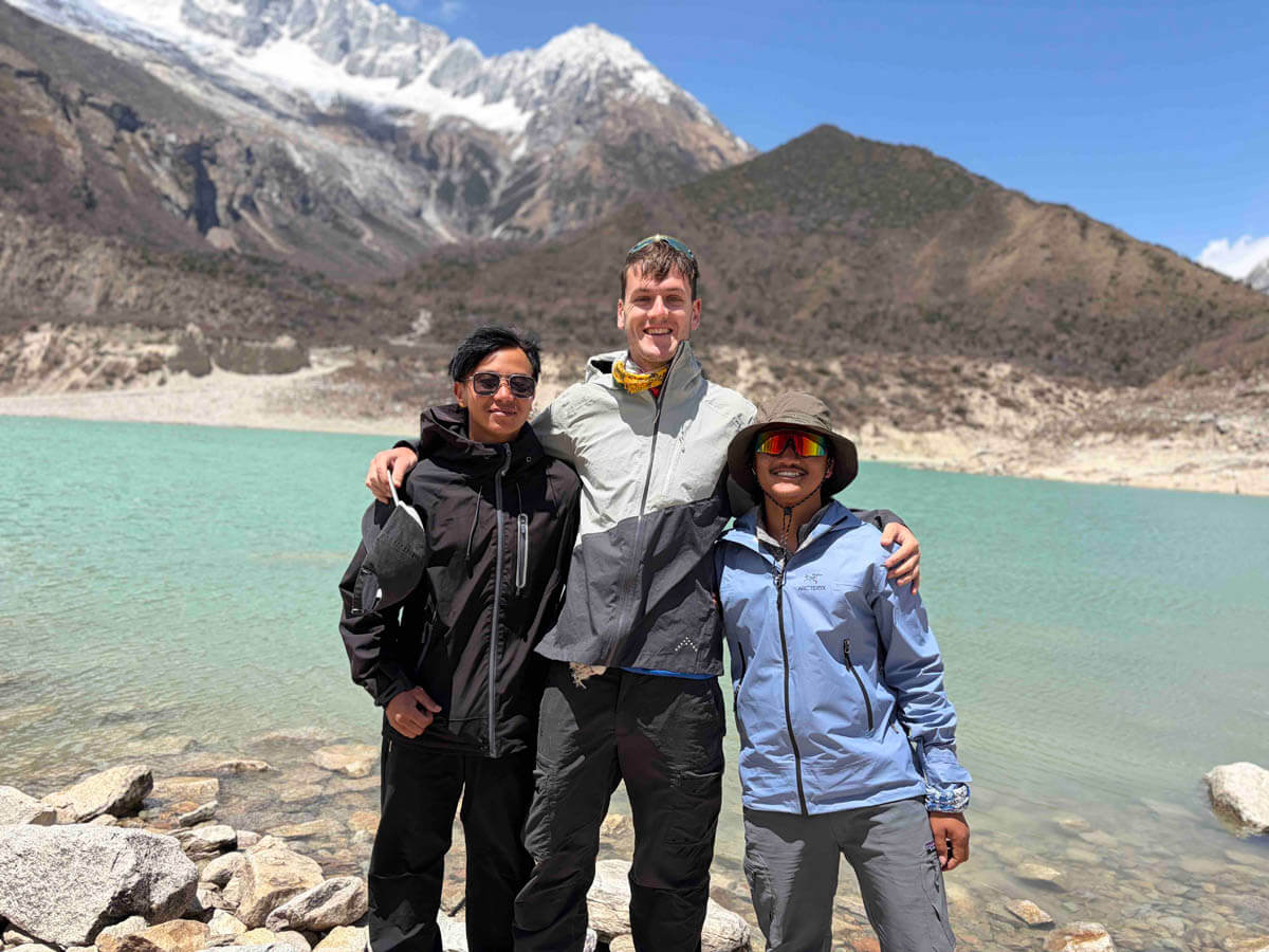
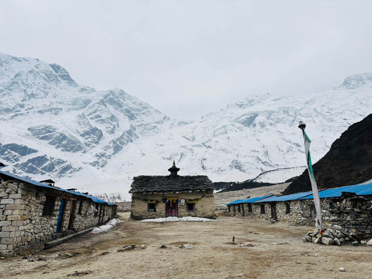
Samagaon is the largest and most developed village in the upper Manaslu region. The settlement is home to the ancient Pungyen Monastery, an important spiritual center for local Tibetan Buddhist communities. There lies Birendra Lake, a turquoise glacial lake fed by the Manaslu Glacier. Samagaon is also the main acclimatization stop before higher altitude trekking.
Your Guide's Advice for Today:
Although you do not gain much altitude today, the visit to Pungyen Gompa adds extra walking. Take your time and enjoy the cultural experience. When visiting monasteries, follow your guide's advice and respect local customs and religious sites. There are no teahouses along today’s trail, so carry at least 2 liters of water and enough snacks to keep you hydrated and energized throughout the day.
09DAY
Acclimatization: Samagaun Exploration Day
Altitude3530 m
MealsB L D
AccommodationTeahouse
Surrounded by mountains in a peaceful forest hideaway, we take an acclimatization day here and explore around and relax. Maybe you can catch up on that book you love so much or even do some washing, if not this then just contemplate on your lovely surroundings.
If you are interested, you can hike up to Manaslu base camp which is about 8-9 hours (both way) or hike to Birendra Taal (2 hours hike – both way), a turquoise lake at the foot of the Manaslu glacier. Overnight at Sama Gaon.
Your Guide's Advice for Today:
Don't take a complete bed rest on your acclimatization day. Do a short hike around the Samagaun village or visit Birendra Lake. If you return to the teahouse early after the hike, avoid sleeping during the daytime. Instead, stay active by reading a book, enjoying a hot drink, or chatting with your trekking team in the dining hall. This can help you relax while maintaining a healthy routine at high altitude.
10DAY
Trek from Samagaun to Samdo
Trek Distance8.2 km/ 5 miles
Altitude3850 m
Trek Duration4 hrs
MealsB L D
AccommodationTeahouse
TrailRiver valley
The thundering Budi Gandaki trickles to a stream as we walk ahead to its upper course which seems to never end; hereabouts we are surrounded by spectacular mountains from all around.
Manaslu is particularly impressive after crossing over to the east bank of the River; we reach the last permanent settlement in the valley, which is called Samdo. The Village has well-established Tibetan refugee inhabitants. Overnight at Samdo.
Overview of Samdo (3850m)
Samdo is the la
Your Guide’s Advice for Today:
The walking distance is shorter today, so avoid sleeping during the day in Samdo, as it may affect your sleep at night. After lunch, take a relaxed walk around the village to stay active. At around 3,850 meters, keep yourself warm and well hydrated. And if you notice any changes in your health let your guide know immediately.
st permanent village before the Larkya La Pass and lies close to the Tibetan border. The village is inhabited by people of Tibetan origin, and its culture strongly reflects Tibetan traditions. Yak herding and trade historically sustained the community, and trekkers often see yak caravans and stone-built houses clustered beneath Samdo Peak.
About the Tibetan Border (5,030m)
The high meadows near the Tibetan border were historically used for trade and seasonal grazing.
Historical Note:
This area was once a vital part of the ancient salt trade route between Nepal and Tibet. For centuries, traders crossed these mountain passes with caravans of mules and yaks, exchanging salt, wool, and grain between the Himalayan regions.
Your Guide's Advice for Today:
The walking distance is shorter today, so avoid sleeping during the day in Samdo, as it may affect your sleep at night. After lunch, take a relaxed walk around the village to stay active. At around 3,850 meters, keep yourself warm and well hydrated. And if you notice any changes in your health let your guide know immediately.
11DAY
Trek to Dharmasala (4,460m) - 6.1 km - 3-4 hrs walk
Trek Distance6.1 km/ 3.7 miles
Altitude4460 m
Trek Duration4 hrs
MealsB L D
AccommodationTeahouse
TrailRiver valley, suspension bridges
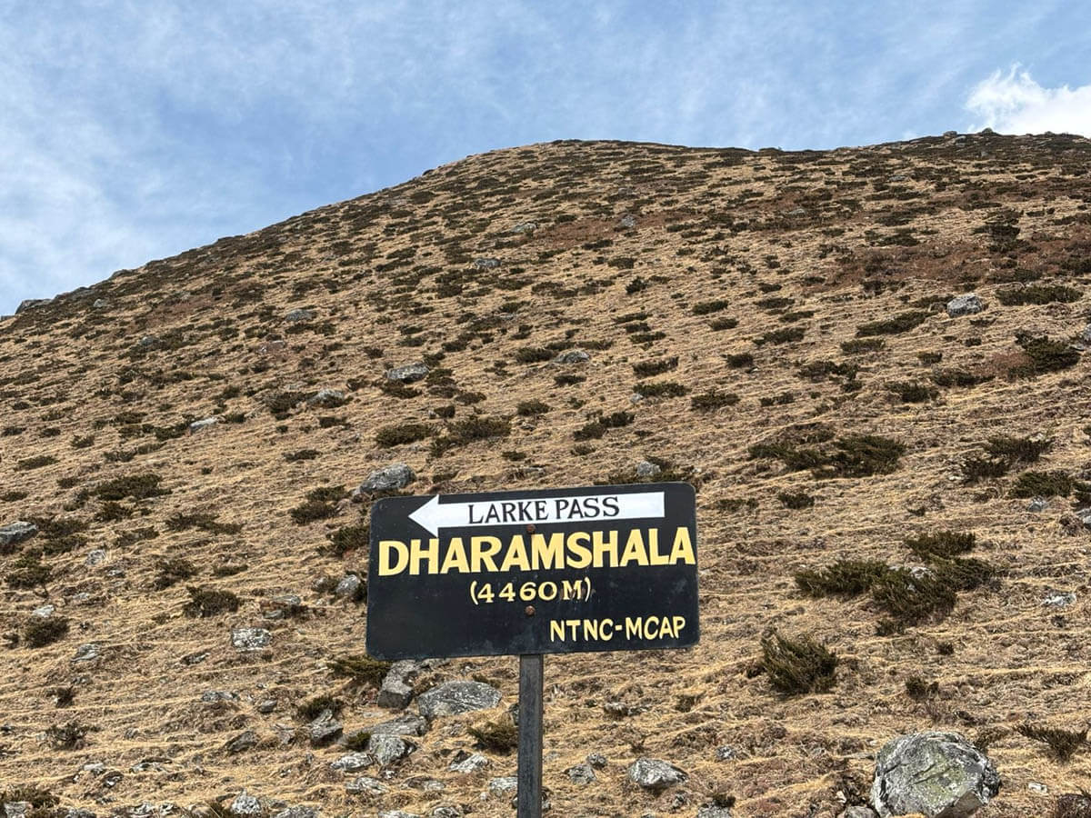
After Samdo, we cross the stream, which runs down from the Gya La (Pass), way to Tibet. We come to the ruins of an abandoned village, known as Larkya Bazaar. Perhaps, this village must have been a trading point with Tibet lying over the Gya La at some time in the past. The local market seems to have dried up, leading to the migration of the settlement near the Larkya Glacier; Climbing further, we arrive Dharmasala at 4460m, the teahouses have been built for travelers before they cross over the Larkya La. Overnight at a local Teahouse.
Overview of Dharmasala (4,460m)
Dharmasala, also known as Larkya Phedi, is a remote high-altitude stop used as the final overnight point before crossing Larkya La Pass. Accommodation here is very basic, consisting of simple lodges built to shelter trekkers. The surrounding landscape is rugged and glacial, with impressive views of the Larkya Glacier and nearby snow peaks.
Your Guide's Advice for Today:
Today’s distance is also short, but do not underestimate the altitude. Dharmasala is around 4,460m, and the accommodation is more basic than in the lower villages. Take rest as much as you can (but don’t sleep), drink plenty of water and eat well. Have an early dinner and go to bed soon afterward, as you need to wake up around 4:00 am tomorrow. Check all your necessary items for tomorrow and pack them properly before sleeping.
12DAY
Trek from Dharmasala To Bhimtang via Larkya La (5,106m)
Trek Distance24.7 km/ 15.3 miles
Altitude3720 m
Trek Duration8-9 hrs
MealsB L D
AccommodationTeahouse
AccommodationTeahouse
Meals includedBreakfast, Lunch, Dinner
Walking distance
Starting Altitude4460 m / 14632.5 ft
Ending Altitude3720 m/ 12204.7 ft
Estimated Time8/9 hours
Difficulty LevelHard
TrailUp and Down Hill
Today is a little adventurous and longer trek than before as we have to walk for about 9 hours passing an altitude of 5,106 meters. Our journey starts after we have our breakfast. The trail ascends towards Cho Chanda and then slowly goes steep up to the Larkya La pass which requires lots of strength and stamina.
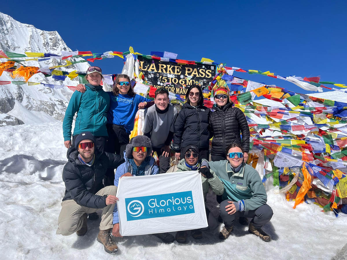
After we reach the top, we can have a magnificent view of the snowy peaks of Himlung Himal (7,126m), Cheo Himal (6,820m), Gyagi Kung, Kang Kuru (6,981m), and the Annapurna II (7,937m) standing in front of us. After this, we descend to Bhimtang walking over steep paths. Overnight at the local lodge.
About Larkya La Pass (5,106m)
Larkya La Pass is the highest point of the Manaslu Circuit Trek and one of the most dramatic Himalayan passes. From the summit, trekkers are rewarded with breathtaking panoramic views of Himlung Himal, Cheo Himal, Kang Guru, Annapurna II, and Manaslu. Colorful prayer flags mark the pass, symbolizing safe passage through the mountains.
Overview of Bimthang (3,720m)
Bimthang lies in a beautiful alpine forest surrounded by glacial landscapes and grassy meadows. The village offers spectacular views of Manaslu, Lamjung Himal, and Annapurna II. After the challenging Larkya La crossing, Bimthang provides a peaceful setting where trekkers can rest beside streams, forests, and wide Himalayan pastures.
Your Guide's Advice for Today:
This is the biggest day of the trek. After waking up, prepare your warm clothing, snacks, gloves, headlamp, water, and personal items so you are ready for the early start. Walk slowly and steadily because there is no benefit in rushing at high altitude. Weather can be colder and windier, and the descent to Bhimtang is also long, so keep some energy in reserve.
13DAY
Trek from Bhimtang to Dharapani
Trek Distance25 km/ 15.5 miles
Altitude1680 m
Trek Duration7-8 hrs
MealsB L D
AccommodationTeahouse
TrailForest, river valley, suspension bridges
Conquering heights and lengths, the trail today goes easy and normal. The trail to Dharapani drops further, through meadows, pine, and rhododendron forest until reaching Hampuk.
Moving forward, we Follow the course of Dudh Koshi River, and then the trail further drops down to Tilche and Thoche. Crossing the Marshyandi River, we reach the village of Dharapani. Overnight at the local lodges.
Overview of Dharapani (1,860m)
Dharapani is a lively village where the Manaslu Circuit trail meets the Annapurna Circuit route. The settlement sits along a major trekking corridor and has relatively better facilities compared to earlier villages. From here, trekkers typically continue toward Besisahar or Kathmandu, marking the final stage of the Manaslu journey.
Your Guide's Advice for Today:
Your body may feel tired after crossing Larkya La yesterday. A long downhill can be tough on the knees so trekking poles can be especially useful today. Don’t walk faster just because you are losing altitude; watch your footing and enjoy the changing forests and scenery.
14DAY
Drive from Dharapani to Kathmandu via Besisahar
Altitude1400 m
MealsB L
AccommodationHotel
Drive distance214 km/ 133 miles
Drive Time10 hours
This is an approximately 9 hour’s scenic drive to Kathmandu. In the first part, we take 4 hours off-road jeep drive to Besishar from Dharapani and then a further 5 hours bus drive to Kathmandu. We lunch out A la carte at a good roadside restaurant. After so long, we will drive back to Kathmandu by bus goes through Marshyangdi and Trishuli River.
You can observe the people and their lifestyles staying beside the highway. After we reach Kathmandu, you will be taken to your hotel. You can freshen up and enjoy an evening walk around Thamel.
Your Guide's Advice for Today:
Before leaving the hotel in Dharapani, check your room properly. The trek may be over, but the drive can still be long and tiring. Keep valuables and important documents with you rather than in your main luggage. Once return to Kathmandu, you can purchase souvenirs for your family and celebrate completing the Manaslu Circuit trek successfully.
15DAY
Departure Day
MealsBreakfast
Drive Time20 Min
Our office support staff will be on standby with a vehicle to take you to the airport for your connecting flight home. On the other hand, if you prefer to stay longer you can go for short tours such as game drives, some go-wild safaris at National parks, or maybe some white water rafting, there are mountain biking thrills or you can even get bolder & cross the border for some fantastic overland tours to Tibet.
Your Guide's Advice for Today:
Before leaving for the airport, double-check your room, passport, flight details, luggage, and personal belongings. If you have extra time in Nepal, you can also discuss additional programs or activities with our team.
If our above-designed itinerary does not meet your expectation, we’ll craft an itinerary based on your requirements. Just tell us your holiday plan.
Trip Includes
Transportations:
Airport pick-ups and drop-offs by private vehicle.
Private car/jeep transport for sightseeing tour in Kathmandu.
Local bus transport from Kathmandu to Machha Khola.
Local jeep transport from Dharapani to Besisahar on sharing basis.
Local van/bus transport from Besisahar to Kathmandu on sharing basis.
Meals:
3 meals everyday while on the trek. (Breakfasts, Lunches & Dinners)
Every morning buffet breakfasts in Kathmandu hotel.
Seasonal fruits (dessert) every evening after the dinner during the trek.
Welcome dinner in Kathmandu before the trek.
Accommodations:
3 nights of 3-star standard hotel accommodation in Kathmandu city.
11 nights of twin sharing local lodges accommodation while on the trek.
Trek permits:
All the essential permits for the trek as bellow.
Annapurna Conservation Area Trek Permit
Manaslu Conservation Area Trek Permit
Special trek permits of Manaslu region.
Local entry permit of Manaslu region.
Local Staffs:
An experienced and government-certified trekking guide for the trek.
City tour guide for the sightseeing tour in Kathmandu.
Sightseeing Tour:
1 day sightseeing tour in Kathmandu at cultural heritage sites guided by city tour guide.
Complementary Service:
Waterproof duffel bag and sleeping bag to use for the trek. (provided on request)
First aid medicine with an oximeter to check your pulse and oxygen level while on the trek.
Emergency helicopter arrangement incase of any physical or natural hazards on trekking. (You should have travel insurance in this case)
Trip achievement certificate after the successful trek.
Government Taxes and Insurance:
All the government taxes and company service charges.
All our local staffs are fully insured according to the Nepal’s government law.
Trip Exclude
Nepal entry visa and international flights
Your travel insurance.
Your personal expenses such as hot shower, charging, use of WIFI while on the trek.
Entrance fees for Kathmandu sightseeing.
Tips to the trekking crews.
Porters are available at an additional cost.
Kindly Note:
If you returned Kathmandu earlier than the scheduled itinerary due to your own problem or interest, no refunds will be issued for pre-arranged services in the mountains, such as transportations, meals, accommodation, and staff salaries. And you will be responsible for your hotel accommodations, meals and transports expenses in Kathmandu.
Check our available dates for 2026/2027
Book your own date shortly
The above available dates are only for private trip departures. At least two trekkers are required to book private tours. An additional cost applies to solo travelers to cover the private guide, accommodation, and other single-person arrangements.
Manaslu Circuit Trek Route Map
Altitude Profile
The Manaslu Circuit trek begins at 900 meters from Machha Khola. From there, the trail gradually climbs through Jagat, Deng, Namrung, Shyala, Samagaun, and Samdo before reaching Dharmasala at 4,460 meters. As you can see on the Manaslu Circuit Trek altitude chart, the gradual increase in elevation can give trekkers time to adjust with the changing altitude as they move deeper into the Himalayas. Proper acclimatization and a gradual ascent are essential before crossing the Larkya La Pass. And our itinerary includes an acclimatization day at Samagaun before heading toward Samdo and Dharmasala.
Larkya La Pass at 5,106 meters is the highest point of the trek, which is between Dharmasala and Bhimtang. Due to its high altitude, difficult terrain and long-distance trail, it is the most demanding section of the Manaslu journey. After crossing the pass, the trail descends to Bhimtang at 3,720 meters and continues downhill toward Dharapani at 1,680 meters.
The altitude profile below gives you a clear picture of the elevation changes throughout the Manaslu Circuit Trek.
Pack essential trekking gear for a safe and comfortable Manaslu Circuit Trek. Temperatures can drop significantly due to its diverse landscapes, remote mountain villages and high-altitude terrain. Our Manaslu Circuit Trek packing list covers all the essential clothing, footwear, trekking gear and personal items you’ll need for the journey. Use this checklist to prepare for your adventure with confidence.
Head
Sun Hat / Cap: Wide-brimmed for sun protection.
Beanie / Warm Hat: Essential for cold mornings/nights.
Buff / Neck Gaiter: For dust, wind, and sun protection.
Sunglasses: Category 3 or 4 UV protection (essential for high altitude).
Headlamp: With extra batteries (for early starts/night treks).
Sunscreen & Lip Balm: SPF 50+ (must-have).
Face Mask / Balaclava: For extreme cold or dusty trails.
Upper Body
Base Layer (Thermal): Moisture-wicking (Merino wool or synthetic). x2
Fleece Jacket / Mid-layer: For warmth.
Down Jacket: Insulated, lightweight (essential for high altitude).
Raincoat/Poncho: Waterproof and windproof.
Trekking T-shirts: Quick-dry, breathable. x2-3
Long-sleeve Sun Shirt: For hot days.
Gloves: Insulated trekking gloves
Lower Body
Trekking Pants: Convertible (zip-off) or lightweight. x2
Fleece / Thermal Pants: For layering under trekking pants.
Rain Pants / Over-trousers: Waterproof.
Shorts: For lower altitudes / warm days.
Underwear: Moisture-wicking, quick-dry. x3-4
Warm trekking trousers: For higher altitudes
Footwear
Trekking Boots: Mid to high-cut, waterproof, broken-in.
Camp Shoes/ Sandals /Flipflop: For relaxing in teahouses after trekking.
Gaiters: To keep snow/rocks out of boots.
Microspikes / Crampons: Useful for icy trails (seasonal).
Trekking Socks: 3–5 pairs of moisture-wicking socks to keep your feet comfortable.
Warm Wool Socks: For cold nights and higher-altitude conditions.
Toiletries & Hygiene
Toothbrush & Toothpaste: Travel-sized products are convenient.
Comb: To comb your hair after a bath
Blister Kit: For preventing and treating friction spots during long walking days.
Soap / Body Wash: For personal hygiene during the trek.
Shampoo: Carry a small travel-sized bottle.
Quick-Drying Towel: Lightweight and practical for multi-day trekking.
Toilet Paper / Pocket Tissues: Useful because supplies may not be available everywhere.
Hand Sanitizer: For cleaning your hands when soap and water are unavailable.
Wet Wipes: Useful when shower facilities are limited.
Moisturizer: Helps protect your skin from dry mountain air.
Personal Medications: Bring sufficient supplies and follow your healthcare professional’s advice.
Basic First-Aid Kit: Include personal essentials and basic wound-care supplies.
Menstrual Hygiene Products: Carry your preferred products if needed.
Nail Clippers: Useful for maintaining nail hygiene during the trek.
Other Essential Items
Daypack (20–30 Liters): For carrying water, snacks, extra layers, and daily essentials.
Duffel Bag (50-70 Liters): For your main trekking luggage, especially if using a porter.
Rain Cover / Dry Bags: Protect your backpack and belongings from rain and snow.
Water Bottles / Hydration Bladder: Carry approximately 2–3 liters of water capacity.
Water Purification Tablets / Filter: For treating drinking water when needed.
Trekking Poles: Help improve stability and reduce strain on your knees during ascents and descents.
Sleeping Bag: Around –10°C to –15°C is useful for many standard trekking seasons.
Sleeping Bag Liner: Optional for additional warmth and hygiene.
Energy Bars / Snacks: Useful for maintaining energy between meals.
Travel Lock: For securing your duffel bag or luggage.
Earplugs: Helpful for sleeping in shared teahouse rooms.
Notebook & Pen: Optional for recording your trekking experiences.
Small Binoculars: Optional for viewing distant mountain scenery and wildlife.
Electronic Gadgets
Mobile Phone: For communication, photos, and navigation.
Power Bank: Useful where charging facilities are limited or expensive.
Phone Charger & Cables: Bring all necessary charging accessories.
Universal Travel Adapter: For charging electronic devices in Nepal.
Camera & Spare Batteries: Optional for capturing Himalayan scenery.
Documents
Passport: A valid passport is required for travel and trekking arrangements.
Passport-size photos: 2-4 copies of passport-size photos.
Nepal Visa: Required for eligible international visitors.
Travel Insurance: Must cover high-altitude trekking and emergency helicopter evacuation.